
Flathead Lake
Lake and Flathead counties, Montana
Information:Flathead Lake in northwest Montana is the largest natural freshwater lake west of the Mississippi in the contiguous United States. It has more than 128,000 acres (51,800 hectares) of water and 185 miles (298 kilometers) of shoreline, with 13 public access sites such as Sportsmans Bridge, Big Fork, and Juniper Beach, which are popular fishing spots. Parks and recreation areas offering boat launches, camping, swimming, and picnicking are Woods Bay, Wayfarers, Yellow Bay, West Shore, Finely Point, Walstad Memorial, Big Arm, and Lake Elmo. Off the Flathead Lake’s west shore near Big Arm State Park, Wildhorse Island is a 2,165-acre (876-hectare) park accessible only by boat for day use only. Additional activities include kayaking, paddle boarding, canoeing, power boating, jet skiing, hiking, and wildlife viewing.
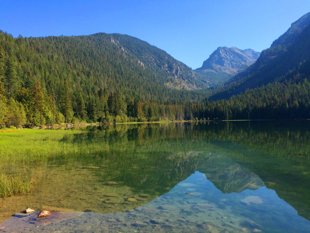
Gates of the Mountains Wilderness
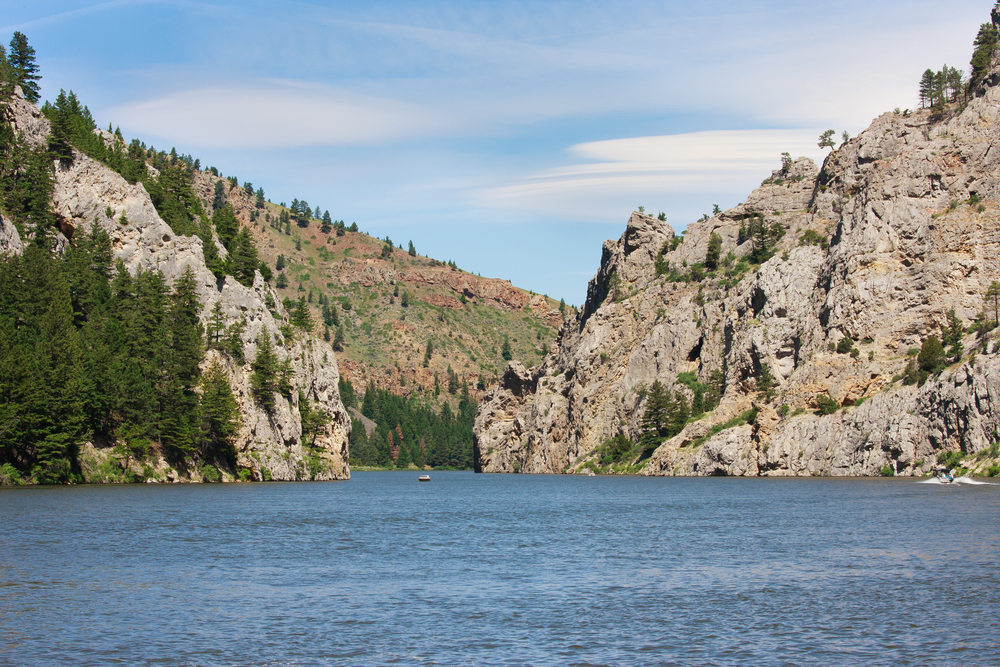
20 miles (32 kilometers) north of Helena, Montana
Information:Encompassing 28,460 acres (11,517 hectares), Montana’s Gates of the Mountains Wilderness is one of the most widely recognized landmarks of the Lewis and Clark expedition. Part of Helena National Forest, this canyon known as Gates of the Mountains features a rugged alpine terrain split by the Missouri River, with gray limestone cliffs, wooded slopes, rock formations, and caves. The landscape is home to bighorn sheep, mountain goats, ospreys, eagles, falcons, otters, deer, bears, beavers, mountain lions, and more. The wilderness area is closed to all motorized and mechanical land vehicles; however, around 53 miles (85 kilometers) of hiking trails provide access to a variety of sights. Boat tours available at the Gates of the Mountains Marina also are a popular way to see the area. In addition to hiking, wildlife viewing, and boating, other activities include camping, fishing, picnicking, and hunting.
Kootenai Falls
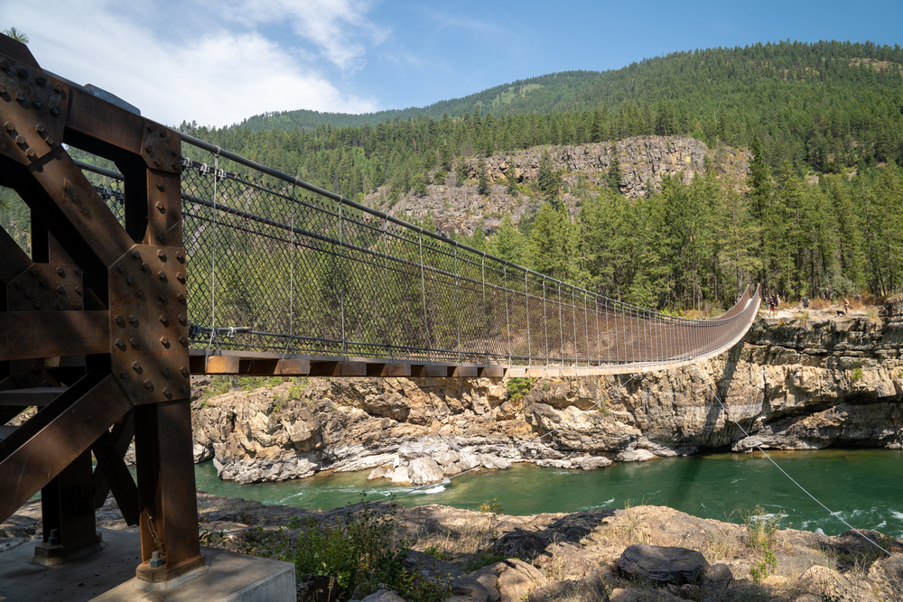
Near US Highway 2 between Libby and Troy, Montana
Information:Kootenai Falls is one of the largest free-flowing waterfalls in the Northwest and considered sacred by the Kootenai Indians whose ancestors inhabited the region. Remnants of ancient Kootenai encampments and sweat lodges have been discovered along the river. A trail with scenic overlooks leads from the parking lot across an enclosed pedestrian bridge and railroad tracks to a swinging bridge over the river. From the bridge, visitors can take in views of the dramatic main 30-foot-drop (9-meter-drop) of Kootenai Falls. The area’s rugged terrain is home to a variety of animals such as bighorn sheep, mule deer, white-tailed deer, black bears, moose, elk, and a variety of birds and waterfowl. Activities include hiking, wildlife viewing, picnicking, birdwatching, hunting, fishing, snowshoeing, and cross-country skiing. Located just north of US Highway 2 on the Kootenai River between Libby and Troy.
Copyright © 1993-2025 World Trade Press. All rights reserved.
